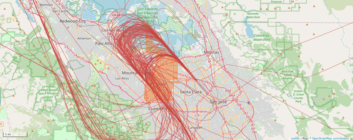
SJC Airport South Flow Data
This page allows you to download reports that detail noise events generated by jet aircraft that overflow the City of Sunnyvale and landed at SJC Airport when the airport was operating in a South Flow.
The noise data is captured from the four aircraft noise monitoring terminals (NMTs) owned and operated by the City of Sunnyvale. The source of the flight track data is the FAA SWIM feed. This is the same source used by ATC for the navigation of aircraft. The City's Casper noise and operations monitoring system (NOMS) analyzes the noise event data to determine if it matches the parameters of an aircraft noise event, and if so attempts to match it to a flight track based on the time and proximity of the flight to the noise monitor that captured the event. The Casper system then calculates which approach procedure the aircraft flew and matches that to the runway the aircraft landed on at SJC Airport.
Date/Time - Times are listed in a 24-hour format which is standard in aviation. To convert a time to the 12-hour clock simply subtract 12 from all values greater than 12:00. For instance, 18:30 is equal to 6:30 PM. Note that midnight in the 24-hour clock appears as 00:00.
Approach - The Approach column indicates whether the aircraft flew the RNP or straight in Visual/ILS approach. To determine the approach the aircraft flew the Casper system analyzes the flight path trajectory and compares it to established approach procedures to assign an approach type. The system can differentiate between RNP and Visual/ILS approaches. For an explanation of an RNP approach please see the Procedures 101 Page under the Education section.
Runway - The arrival runway is determined by examining the flight path trajectory and matching it to a runway end. Runway numbering is based on the compass heading of the runway. For an explanation of runway numbering please see the Air Traffic 101 Page under the Education section.
AC Type - The Aircraft Type codes are four-letter alphanumeric ICAO codes that can be located by searching the ICAO Aircraft Type Designator Database. For an explanation of aircraft ICAO codes please see the Codes 101 Page under the Education section.
Propulsion - The Propulsion type is derived from the ICAO aircraft type, either Jet, Turboprop, Piston or Helicopter.
Noise Category - The FAA/ICAO aircraft noise certification category is determined during an aircraft type's initial airworthiness certification by measuring noise levels at three fixed points and comparing the recorded levels to the current noise certification standard. For an explanation of aircraft noise certification please see the Aircraft 101 Page under the Education section.
PCA Altitude - The Point of Closest Approach is the altitude captured by the FAA radar at the point that the aircraft was closest to the noise monitoring terminal. Altitudes are listed in feet above mean sea level (MSL) not distance above the ground.
Lmax - Lmax or LAMAX is the RMS (root mean squared) maximum level of a noise event, not to be confused with the peak noise level which is different.
SEL - Sound Exposure Level is the sound level that would be experienced if all the sound energy of a single event were compressed into 1 second.
Duration - The total duration of the noise event in seconds
All noise values are recorded and reported in A-weighted decibels (dBA). For an explanation of Lmax and SEL please see the Noise 101 Page under the Education section.
The reports are posted monthly in a .csv format that can be downloaded for further analysis. Note this dataset lists only flights that were correlated to an aircraft noise event at one or more NMTs. Note that some flights generated noise events at multiple NMTs. The data archive goes back to November 1, 2020, when the noise monitoring terminals went live.